Issued at 5pm 18th April for 20th & 21st April 2024
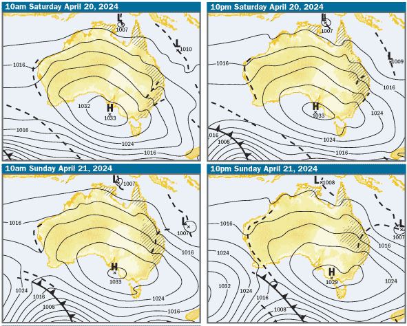
Charts: The charts and weather models are indicating that there’ll be a large high pressure system centred in the Great Australian Bight and expected to move slowly east over the weekend. There’s a low embedded in a trough in the Coral Sea, which looks like moving south on Saturday. The high will be extending a ridge along the Qld coast and as the low in the Coral Sea drifts south, it will tighten the gradient between the two systems and create fresh to strong S/SE winds along the southern Qld coast
There’s another trough inland from the southern Qld coast, which may get closer to the coast on the weekend. What you can’t see on these surface charts is an upper trough, with a pool of cold air in the same area. This rather complex situation indicates the strong likelihood of showers, rain and possibly storms developing Saturday afternoon and continuing through the night and on Sunday

SE Qld Weather Outlook: Based on what the charts are indicating, on Saturday, expect showers, rain and possibly storms developing in the afternoon and continuing overnight, with 10-15kt S/SE winds in the morning, freshening to 15-20kts during the day, possibly reaching 20-25kts in offshore waters in the afternoon. On Sunday, the outlook is for showers, rain and possibly storms with 20-25kt S/SE winds in the morning, reaching 25-30kts at times during the day. It should be noted that in situations like this, things can change and very often in heavy rain, wind speed and direction can vary
Tides & Moon: It will be full moon next Wednesday night, so tidal differences will increase. On the weekend there’ll be morning highs and mid afternoon lows. Click this link for precise tide times and heights and moon phases
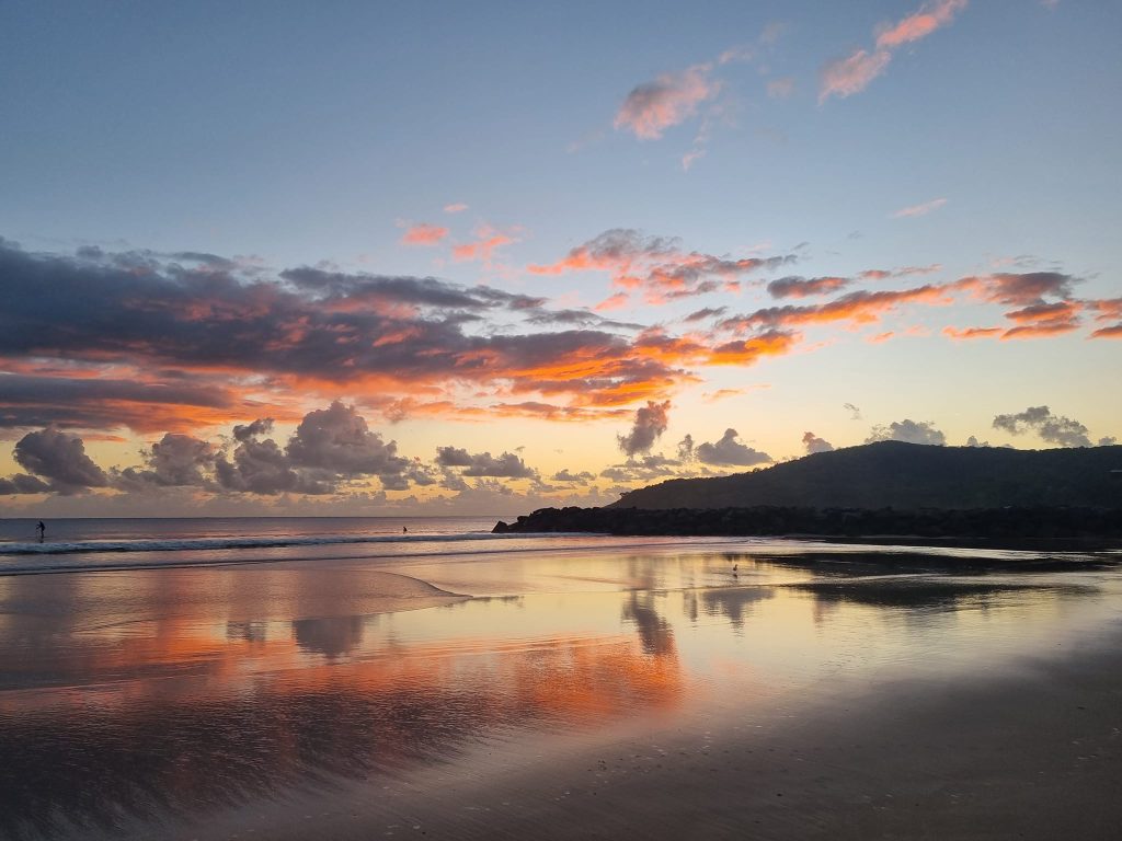
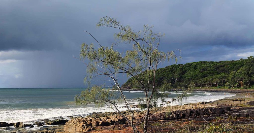
Pic by Jenny Morgan at Noosa
Swell & Coastal Bars: There’s been an 1-1.5m Easterly ground swell for the past couple of days. It should persist on the weekend and given the forecast for fresh to strong S/SE winds, a 2-3m S/SE wind swell should develop in offshore waters. As it refracts onto the coast, it will be more SE/E and add to the existing Easterly ground swell. Given the outlook for wind and swell, crossing coastal bars isn’t advisable and not worth it, as offshore conditions will be rough and not suitable for small boats
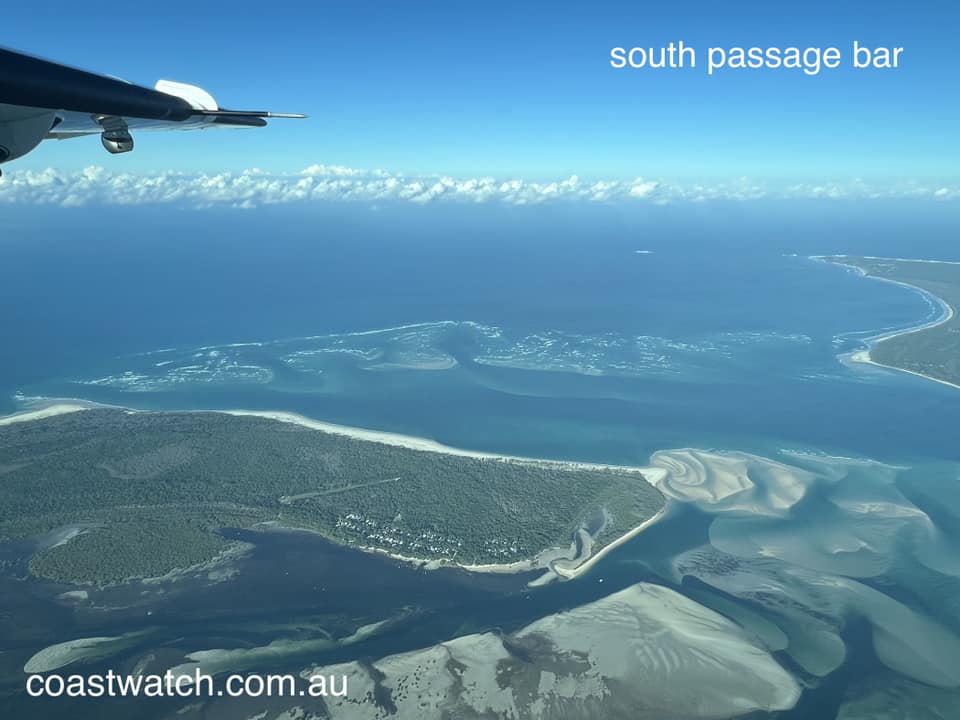
Pic of South Passage Bar Tuesday 16th April by Sea Air Pacific
Sailing & Boating: Based on the weather predictions, you’ll need to take wet weather gear, particularly on Saturday afternoon and night and on Sunday . It looks like fresh S/SE winds on Saturday and heavy weather sailing on on Sunday. Boating conditions in offshore and open bay waters should be choppy to rough on Saturday and should be too rough for safety and comfort on Sunday. The best cruising and anchorages will be in the sheltered waters from Caloundra to Donnybrook in Pumicestone Passage, the southern bay from Peel Island to the northern parts of Southport Broadwater and in the rivers and creeks
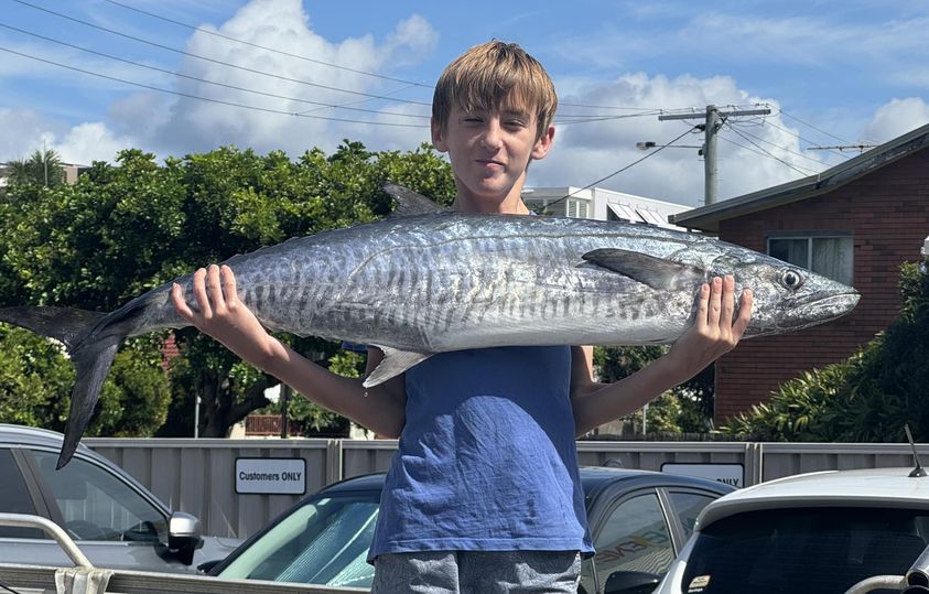
Fishing: If the weather predictions are right, it’s looking like conditions won’t be suitable or offshore fishing, particularly on Sunday, which is a shame, because the run of big spanish mackerel has continued, but getting them past the sharks in one piece has been hard. It’ll also be pretty lumpy in open Moreton Bay waters and the best and most comfortable options for fishing look like being in the sheltered waters in Pumicestone Passage, in the southern bay and the rivers and creeks. To help you plan your weekend angling, the latest SE Qld Fishing Report was published on the Coastwatch web site this afternoon, as it is every Thursday afternoon
Pic from Caloundra Fishing World of spanish mackerel caught off Caloundra on Monday 15th April
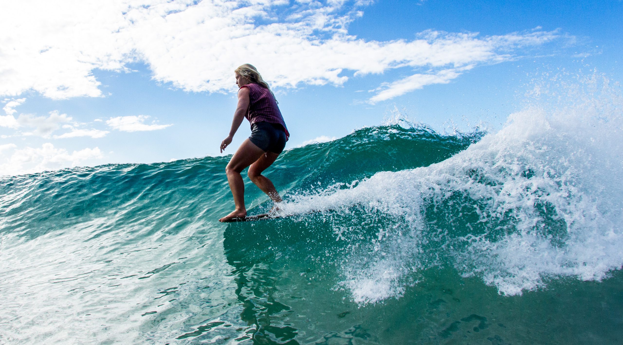
Surf: Based on the weather and swell predictions, expect the swell to be 1-1.5m E/SE, with bigger sets. Given the forecast for fresh to strong S/SE winds, it’ll be a weekend for the point breaks, which will be crowded, so be nice to each other. You can check the latest surf conditions with the daily Surf Report published about 5.40 every morning
Beach: The weather outlook indicates showers, rain and possibly storms developing on Saturday afternoon and continuing though Sunday, so Saturday morning will be the best time for the beach. Given the forecast of fresh to strong S/SE winds, the best places offering shelter from the wind will be the bays on the northern side of the headlands at Noosa, Mooloolaba, Burleigh, Kirra, Greenmount and Rainbow Bay. Swim in the patrolled areas marked by the red and yellow flags, particularly on the ebb tides. For the latest beach conditions, check our daily Beach Report published about 5.40 every morning
Pic from noosa.com

More Articles
COASTAL WEATHER OUTLOOK for Weekend of 19th, 20th, 21st December 2025. Issued Thursday 18 December at 2pm.
A stable and welcome weather pattern is setting up across the coast this weekend, with a large high-pressure system anchored in the Tasman Sea delivering calm conditions and a ...