COASTAL WEATHER OUTLOOK for Weekend of 19th, 20th, 21st December 2025. Issued Thursday 18 December at 2pm.
Weekend Coastal Weather Outlook: December 19–21, 2025
By Josh Toohey, Coastwatch
South-East Queensland & North-East New South Wales
A stable and welcome weather pattern is setting up across the coast this weekend, with a large high-pressure system anchored in the Tasman Sea delivering calm conditions and a break from recent storm activity. For boaters, fishers and beachgoers, this is shaping up as one of the most settled weekends in weeks — and potentially one of the last before wetter weather returns ahead of Christmas.
Winds
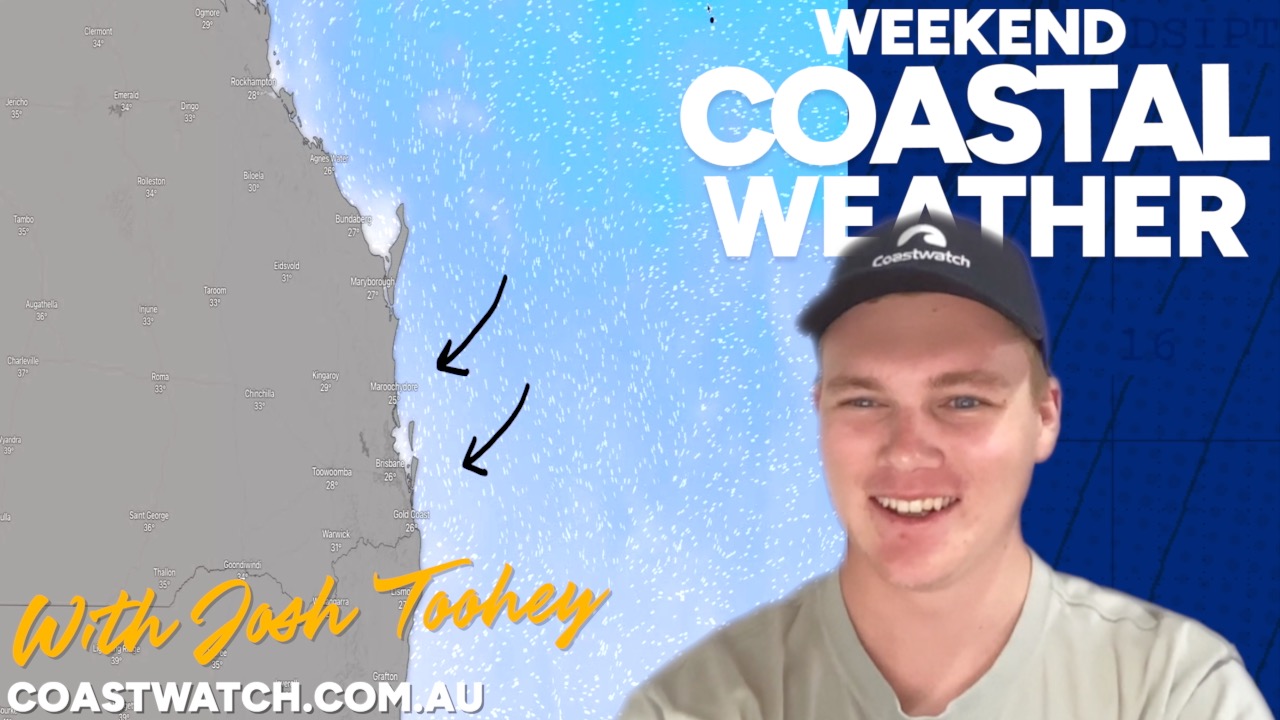
Winds will remain generally light to moderate through Friday and Saturday, particularly across south-east Queensland where speeds will mostly sit below 10 knots. The north-east New South Wales coast will see slightly fresher conditions at times, with afternoon and evening gusts occasionally reaching 15–20 knots. Overnight, winds ease back again before gradually strengthening late Sunday along the NSW coast as a change approaches from the south.
Seas & Swell
Sea conditions remain favourable for most marine activity. Wave heights are expected to sit around 1.0 metre for much of the Queensland coast, increasing slightly to around 1.5 metres at times along the north-east New South Wales coastline. Swell remains modest overall and on the small side for surfers, though brief windows of cleaner conditions may develop, particularly in parts of north-east NSW with light offshore breezes early Sunday.
Temperatures
Heat will be a key feature of the weekend. Friday and Saturday will be warm to hot, with coastal temperatures climbing toward 30°C and inland areas reaching into the mid-to-high 30s, especially across southern Queensland and northern New South Wales. Sunday remains warm, though slightly cooler along the coast as onshore breezes develop, helping to take the edge off the heat but maintaining humid conditions.
Thunderstorm Risk
Thunderstorm activity is expected to remain largely inland through the weekend. Any storms that do develop are forecast to be non-severe and are unlikely to affect coastal locations, including Brisbane, the Gold Coast or the Sunshine Coast. Coastal plans should proceed largely uninterrupted, though inland areas of northern NSW may see isolated afternoon or evening storms.
Boating & Fishing
This weekend presents a strong window for recreational boating and inshore fishing across south-east Queensland and much of the north-east New South Wales coast. Light winds through Friday and Saturday, combined with low seas and minimal swell, will make conditions comfortable in bays, estuaries and close offshore grounds. Early mornings are likely to be the best option, particularly on Saturday, before any afternoon sea breezes develop. With storms expected to remain inland and no severe weather forecast along the coast, interruptions to marine activity should be minimal. For many, this may be one of the last reliable boating weekends before a wetter, more unsettled pattern arrives next week.
Beach & Surf
Beach conditions will be favourable for swimming and general coastal activity, with small swell and manageable onshore breezes for most of the weekend. Surf conditions, however, are expected to remain modest overall, with swell heights on the lower side across both Queensland and north-east New South Wales. There may be brief periods of cleaner surf, particularly in parts of north-east NSW, but this is not shaping up as a standout surf weekend. Hot temperatures, especially on Saturday, will make the beach an appealing option, though visitors should remain mindful of heat exposure and changing afternoon breezes. Always swim between the flags, and talk to lifeguards about beach signs — see video below.
Looking Ahead
This settled spell is not expected to last. From early next week, a wetter and more unstable pattern is forecast to develop across much of Queensland and New South Wales, with increasing showers and thunderstorms in the lead-up to Christmas. Rainfall totals are likely to rise significantly outside south-east Queensland, making this weekend an excellent opportunity to make the most of the coast before conditions deteriorate.
Don’t destroy what you came to enjoy!
BEACH SIGNS

More Articles
COASTAL WEATHER OUTLOOK for Weekend of 5th, 6th, 7th December 2025. Issued THURSDAY 4th December at 2pm.
A high-pressure ridge in the Tasman Sea keeps skies clear and waters calm. Excellent day for boating and fishing.
