COASTAL WEATHER OUTLOOK for Weekend of 12th, 13th, 14th December 2025. Issued Thursday 11 December at 2pm.
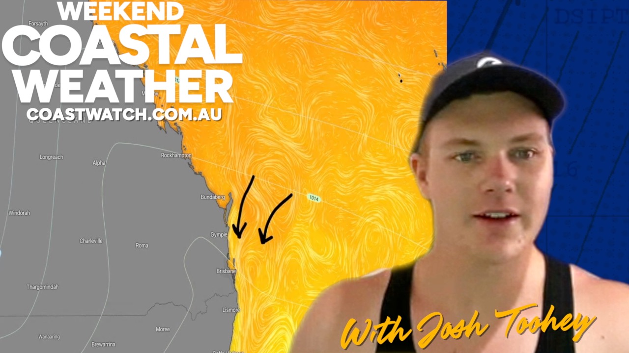
Weekend Coastal Weather Outlook: December 12–14, 2025
By Josh Toohey, Coastwatch
As we head into the weekend along the South East Queensland and North East New South Wales coastline, conditions look mostly favorable for boating and beach activities—at least until late Sunday when storms may roll in.
Overview
A large high-pressure system in the Tasman Sea will dominate the weather pattern through Friday and Saturday, bringing onshore breezes and slightly elevated swell. While the system isn’t overly strong (around 1023 mb), its size ensures significant influence across the region.
Expect:
- Relatively storm-free conditions until late Sunday.
- Onshore winds and choppy seas Friday and Saturday.
- Thunderstorm risk increasing Sunday afternoon and evening.
Friday (Dec 12)
- Winds: East 10–15 knots, gusting up to 20–25 knots (Fraser & Sunshine Coasts).
- Seas: Significant wave heights 1.5–2 m offshore.
- Boating: Evening conditions may be unpleasant with chop.
- Surf: Swell building, but easterly winds will make waves messy.
Saturday (Dec 13)
- Morning: Light winds (5–10 knots), increasing to 15 knots by early afternoon.
- Evening: Winds easing back to 10 knots; gusts up to 20 knots midday.
- Swell: 1–1.5 m, short period (~8 sec).
- Conditions: Slight improvement for boating Saturday night as winds swing NE to N.
Sunday (Dec 14)
- Morning: Northerly winds 10–15 knots; gusts up to 25 knots near Gold Coast.
- Afternoon: Gusts may reach 30 knots in NE NSW.
- Thunderstorms: Risk rises after 2–3 PM, especially Scenic Rim, Border Ranges, and Gold Coast Hinterland.
- Severe storms possible: Localized gusts up to 40 knots.
- Advice: Monitor radar and warnings closely; boating best in protected waters.
Tides
- First High: 4–6 AM
- Low: ~10 AM
- Second High: 4–5 PM
- Second Low: 10–11 PM
Looking Ahead
Early next week brings a southerly change Monday night into Tuesday, with gusts approaching 40 knots—plan accordingly for boating.
For live weather data, full charts and tide tables, visit the Coastwatch Weather Pages for your region.
WEATHER PODCAST
CYCLONES & SEVERE WEATHER : WITH JOSH TOOHEY, ANTHONY CORNELIUS & ROD FIGEUIREDO
More Articles

Tropical Cyclone Watch for Northeast Queensland January 9-11th 2025
A tropical cyclone watch is current for the coastline between South Mission beach (outside of Tully) to north of Mackay including Townsville, the Whitsundays and Hamilton Island. This means tropical ...
Introducing Rod! With the Coastwatch Australia Day weekend weather and coastal conditions outlook.
Introducing Rod Figueredo! (“Weatherman Rod”) and the weekly coastal conditions and weather outlook for the Australia Day Weekend. In this video we get to...
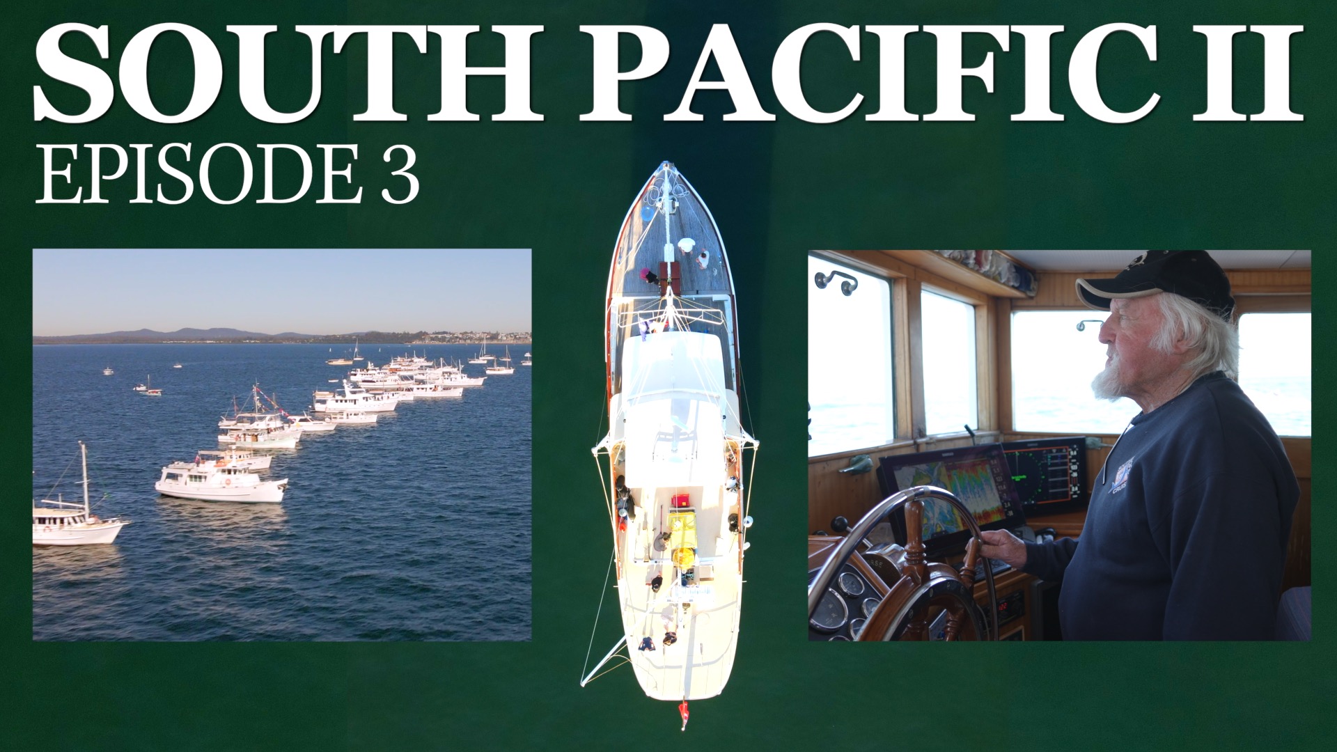
South Pacific II — Episode 3: “A Moreton Bay Classic”
Despite her design origins in the United States, and early life in Sydney, the South Pacific II has in many ways become the definitive Moreton Bay classic. With a deep ...