Tropical Cyclone Watch for Northeast Queensland January 9-11th 2025


Severe Weather: Central Coast and Whitsundays January 9–11, 2025
By Josh Toohey, Coastwatch
A tropical cyclone watch is current for the coastline between South Mission beach (outside of Tully) to north of Mackay including Townsville, the Whitsundays and Hamilton Island. This means tropical cyclone force winds (34kts+ 10 minute sustained) are likely within the 24-48hr period, with this likely to be upgraded to a warning in the BoM’s update tonight.
It is likely that tropical low 12U, situated offshore from Cooktown and north of Townsville will intensify as it moves towards the south tonight, potentially becoming a category 1 strength tropical cyclone by tomorrow afternoon on approach to a likely landfall around or just north of Townsville. Landfall looks likely sometime on early Sunday morning, but this is subject to change.
The focus on this storm is not so much the landfall location or the intensity, more so the size. The cyclone is forecast to be very broad, with gale force winds likely to stretch from Tully all the way down to Mackay on Sunday morning meaning there will be a very wide swathe of locations receiving strong wind gusts. In exposed stretches of coast between Townsville down to Mackay including both Hamilton, Palm and Magnetic Islands, wind gusts may exceed 50kts for a brief period on Sunday morning, increasing from 40-45kts through Saturday and the remainder of Sunday.
This will be combined with torrential rainfall that is likely to result in moderate or even major river flooding in the Pioneer, Proserpine and Burdekin river catchments, which will also be compounded by tidal flooding from an incoming storm tide likely to reach 2 feet deep in a few spots. This combination of incoming water from the storm tide and the prevailing northerly to northeasterly winds gusting to 50kts in places will bring a surge of water to the coast, plugging rivers and preventing significant volumes of floodwaters being released as the tide rolls in.
Those with marine interests need to monitor this situation very closely, with those on the Central Coast/Whitsundays and North Tropical Coast as well as the Herbert and Burdekin regions advised to remain vigilant. By tomorrow morning around 8am, wind gusts over 40kts become possible making it dangerous to do any kind of marine based activity. Mariners are strongly advised to have boats secured, or out of the water by this time, and then to ride the storm out until conditions ease off around 8PM on Sunday, depending on the movement of the tropical cyclone.
Remember this is a prolonged threat from the weather system likely to be not too significant but one that will last the duration of the weekend. Ensure that you are ready and prepared for some severe weather and potentially tropical cyclone force winds and conditions.
BEACH SIGNS

More Articles
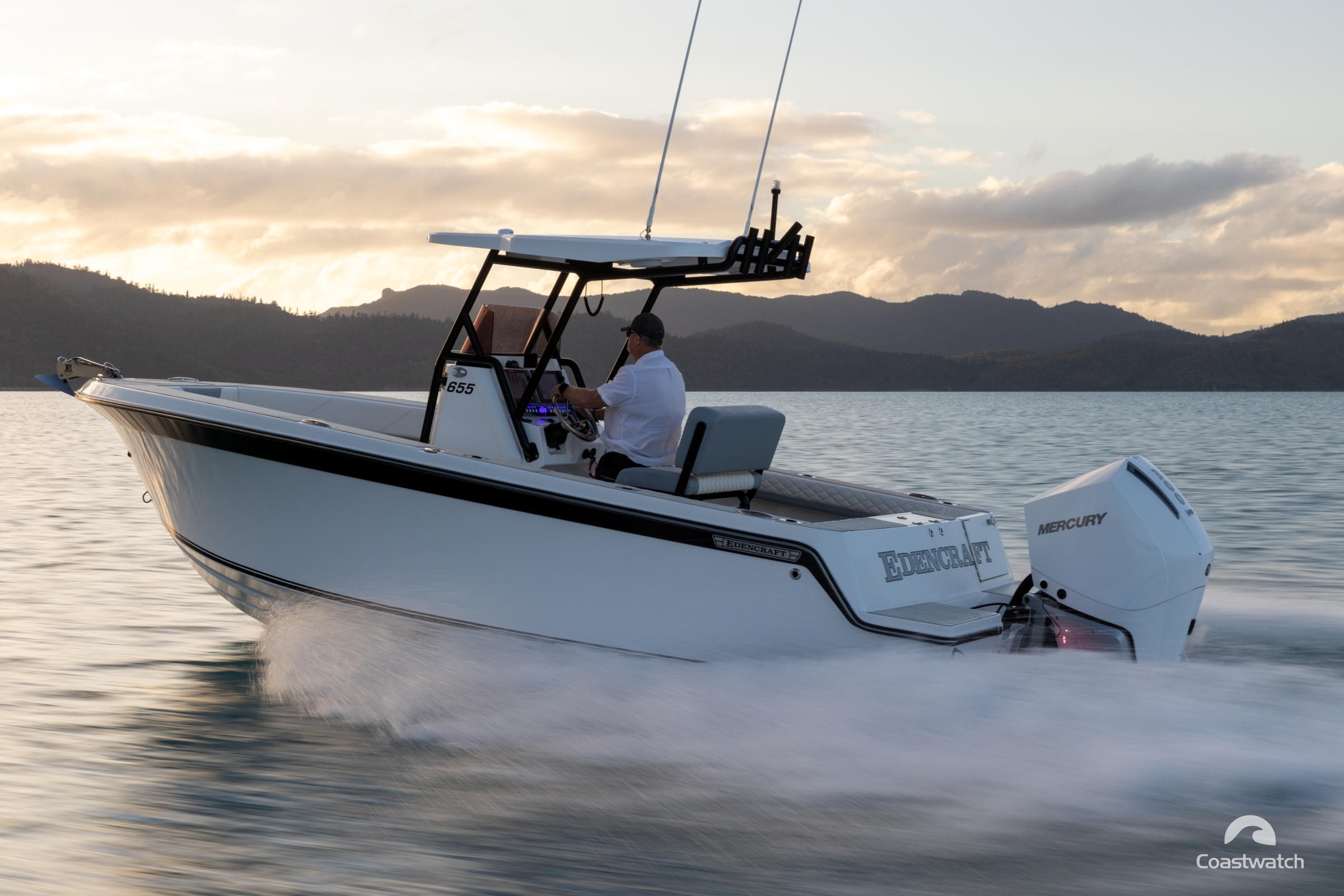
Edencraft East Coast Tour
Coastwatch linked up with Edencraft’s Australian East Coast tour at their final destination, Airlie Beach — on a spectacular day in the Whitsundays — to sample their latest release, the impressive ...
Rod’s Weekend Coastal Weather Conditions
Rod’s Weekend Coastal Weather Conditions For the first week of February 2024.