Charts: The charts and weather models are indicating that there’ll be a large area of high pressure over the southern part of the country and in the Tasman Sea extending a ridge along the Qld Coast, which will generate SE winds. There is a low, ex TC Paul in the Coral Sea, which is not expected to impact the Qld coast, apart from tightening the gradient between it and the ridge of high pressure, causing fresher SE winds in FNQ

SE Qld Weather Outlook: Based on what the charts are indicating, expect light SW/S land breezes inshore early, becoming 10kts S/SE during the mornings and 10kts, reaching 10-15kts at times E/SE during the days. It should be mostly fine, with just the chance of a few coastal showers
Tides & Moon: It will be first quarter or half moon up next Tuesday night and during that moon phase we experience neap tides, or smaller tidal differences. On the weekend, there’ll be morning and early evening lows and early afternoon highs. Click this link for precise tide times and heights
Pic from Byron Bay https://www.facebook.com/byron.bay.nsw

Swell & Coastal Bars: The swell looks like being 1.5-2m SE in offshore waters and 0.75-1.2m E/SE on the beaches and coastal bars. Crossing bars always requires caution and be particularly careful on the ebb tides, when pressure waves, which can be bigger than actual swell size and break unpredictably, can form as the water runs out through the narrow bar openings
Pic from Around Noosa https://www.facebook.com/aroundnoosa

Sailing & Boating: Based on the weather predictions, it looks like there’ll enough wind for enjoyable sailing and boating conditions will be a bit choppy, but workable in offshore waters and in the open parts of Moreton Bay. The best cruising and anchorages will be along the western side of Moreton and North Stradbroke Islands, from Caloundra to Donnybrook in Pumicestone Passage, the southern bay from Peel Island to the northern parts of Southport Broadwater and in the rivers and creeks

Fishing: If the weather predictions are right, it’s looking like conditions for offshore fishing will be workable in small boats and a bit choppy in the open parts of Moreton Bay. As is usually the case in all but extreme weather, the sheltered waters in Pumicestone Passage, the southern bay and the rivers and creeks, will be best. There’s been quite a few coral trout caught on the reefs off Noosa, some very big spanish mackerel and wahoo on the inshore reefs and bream have started to show up in bigger numbers. To help you plan your weekend angling, the latest SE Qld Fishing Report was published on the Coastwatch web site this afternoon, as it is every Thursday afternoon
Pic from Deep Sea Fishing Co Noosa https://www.facebook.com/Deepseafishingconoosa

Surf: Based on the weather and swell predictions, expect the swell to be 0.75-1.2m E/SE. Look for waves on the points and beach breaks early while the wind is SW/S and when it swings SE or E/SE, the points will be the best options. You can check the latest surf conditions with the daily Surf Report published about 5.40 every morning

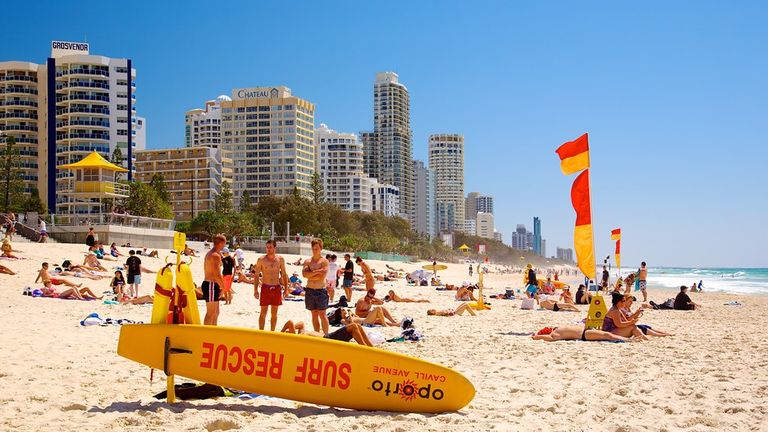
Beach: It looks like pretty good weather for the beach, apart from a few coastal showers and if the wind is SE or E/SE during the days, the most pleasant beaches will be the bays at Noosa, Mooloolaba, Burleigh, Kirra, Greenmount and Rainbow Bay. The open beaches will have more wind, but still be OK. During the early morning and afternoon ebb tides, be aware that rips and sweep working around the inshore holes and gutters will be enhanced as the water drains off the beach. You should always swim in the patrolled areas marked by the red and yellow flags, particularly on ebb tides. For the latest beach conditions, check our daily Beach Report published about 5.40 every morning